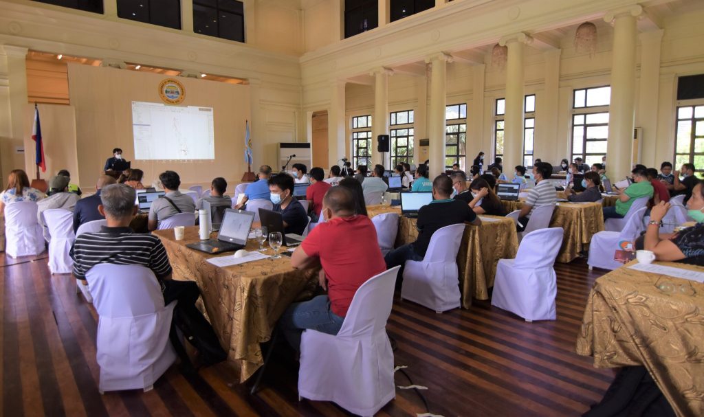
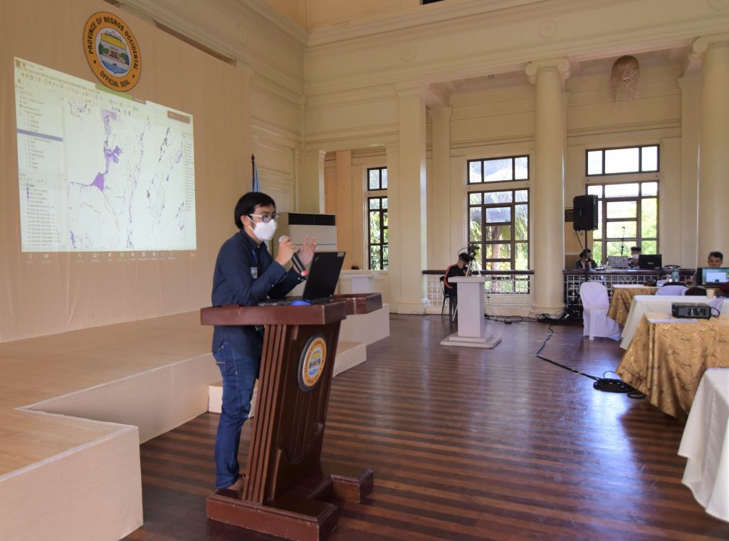
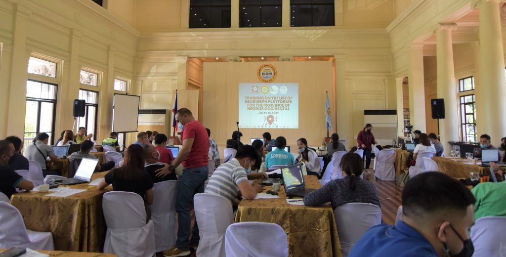
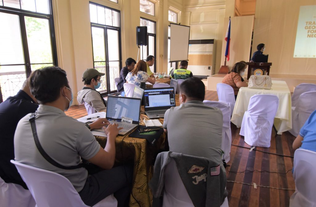
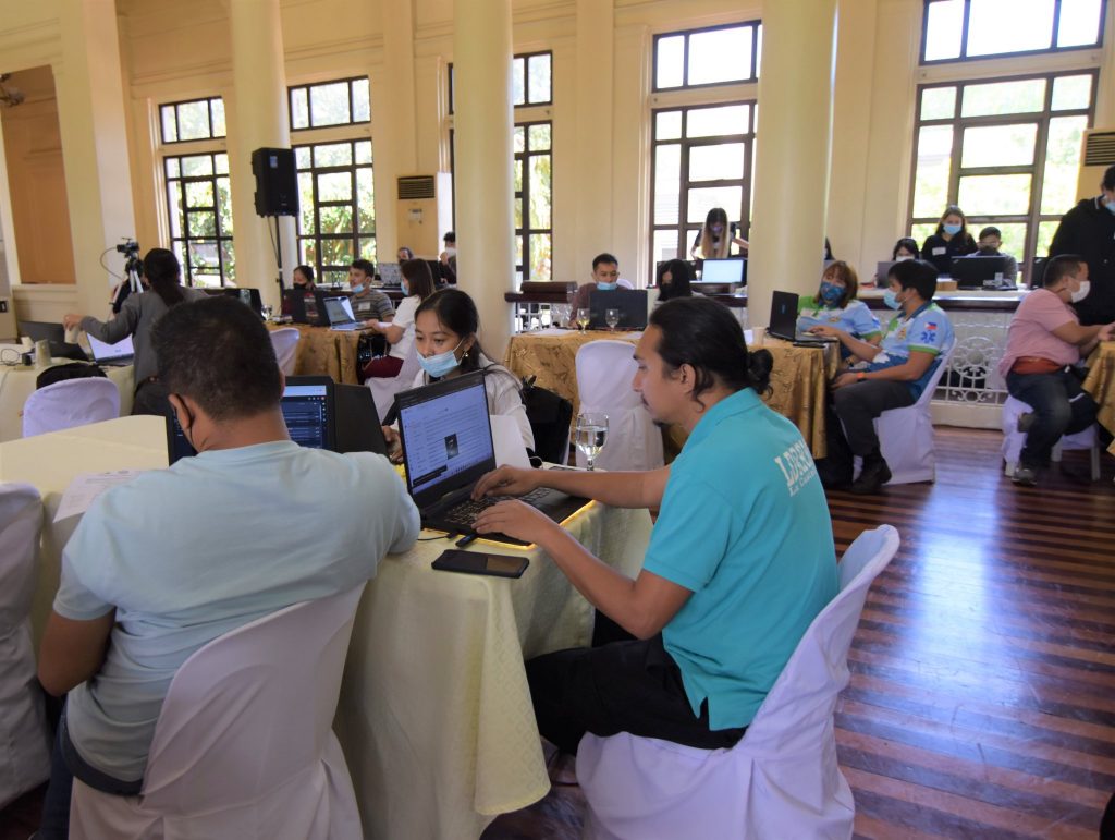
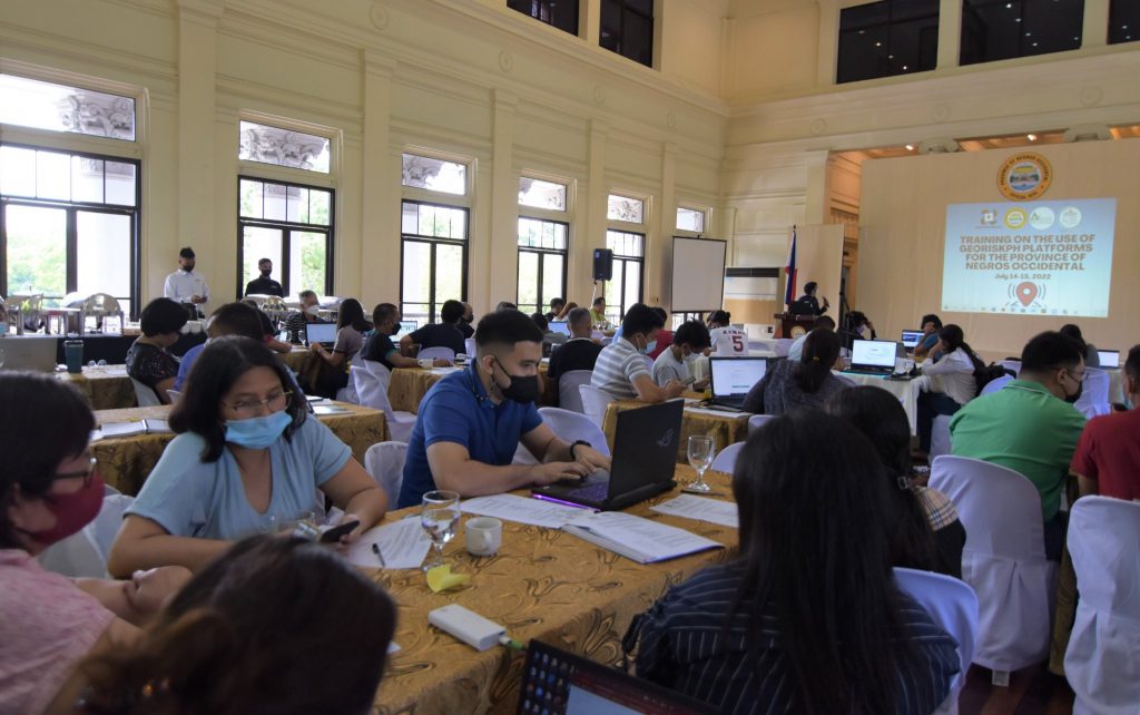
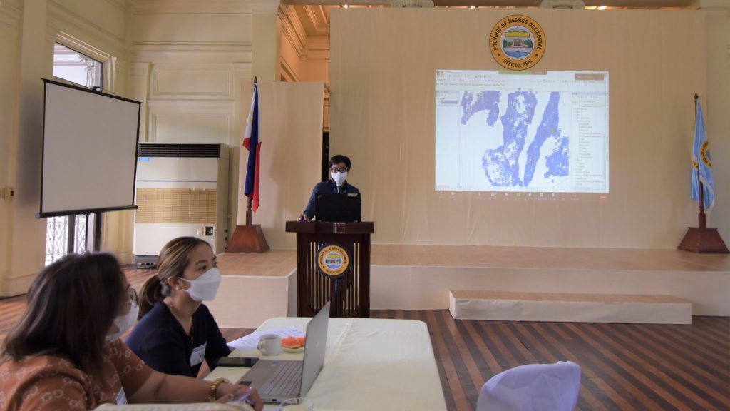
The Provincial Government of Negros Occidental in partnership with DOST-PHIVOLCS, conducted a training course on the use of GeoRiskPH Platforms as a hazard and risk assessment tool for the local government units (LGUs).
The training focuses on the effective use of the GeoRiskPH apps in building their exposure geodatabase and tools for a more efficient hazards and risk assessment, data collection, data sharing and analysis in support of data-informed planning and decision-making.
The participants are the LGUs’ Disaster Risk Reduction and Management Office (DRRMO) officers and local planning officers.They were trained on how to collect data in the field through the GeoMapperPH’s mobile app and the GeoRiskPH web services through their desktop GIS software.
“In case of hazards, the GeoRiskPH app alerts the LGUs for them to respond promptly and effectively, assess and provide information on how to minimize the damages, and also to gather and scientifically analyze the disaster data,” Ericson Alarcon, GIS In-charge, said.
Nine science research specialists from DOST-PHIVOLCS shared their expertise on the topic.
The provincial government initiated the training program through Provincial Administrator, Atty. Rayfrando Diaz, and the Provincial Information Communication Technology Division.


